
Earlier this week, I posted an article about Alternate Transportation. This article focused on alternate modes of transportation such as bicycles, scooters, roller blades etc., as well as having a multi-tier approach for your bug out plan. This article compliments the earlier article with some ideas on alternate transportation routes.
The principle of easy travels is following the path of least resistance from A to B. The path of least resistance incorporates your mode of transportation and the path itself:
Mode of transportation
The path of least resistance changes depending on your mode of transportation (e.g. – a mobile RV will not be able to fit in most places a regular SUV would). With size of transportation being one of the most limiting factors, my personal suggestion is that your transportation option should be as mobile/flexible as possible and not a UHAUL for your gear. Focus on storing items at your bug out location so that you do not need to pack up much from your home. What you do pack should be able to carry you through the duration of your trip plus extra for unfortunate circumstances.
Another common sense aspect for determining mode of transpiration is the terrain that you will be rolling over. Will you be on road or off road? If you are off road, will the terrain be soft or compact (e.g. – a heavy vehicle will be incredibly difficult to unearth)? Do you foresee mother nature getting in your way with downed trees or other obstacles that you will need to prepare for (e.g. – chainsaw). If you are on-road have you determined all possible choke points where traffic will back up? There are several other aspects with regards to terrain, and as I covered in the Alternate Transportation article, you should have a multi-tier approach if conditions are not favorable.
Alternate Routes

When we talk about alternate routes, have you considered all avenues that are available besides back roads? Here are some ideas of alternate detour routes that offer less resistance than bushwhacking through the woods. In order to find these alternate routes, download a local USGS topographic map online for free! These maps offer a multitude of symbols which identify railways, electrical lines, etc. I’m sure you can also find modified Google maps which offer the same information.
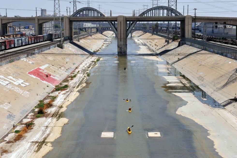
Concrete Aquaducts/Watersheds
Gas lines
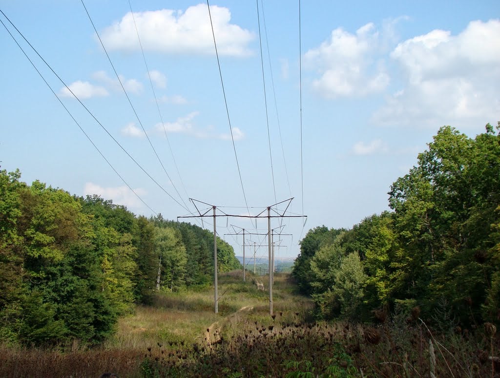
Electrical Power Lines
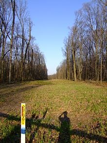
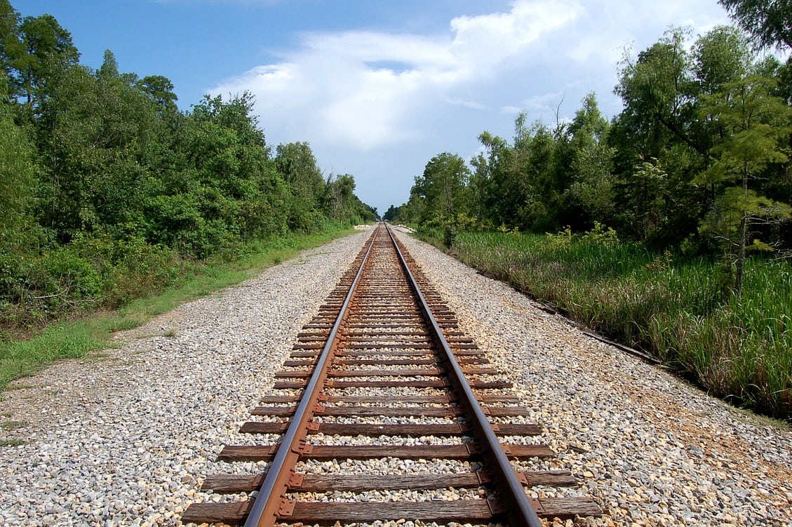
Railroads
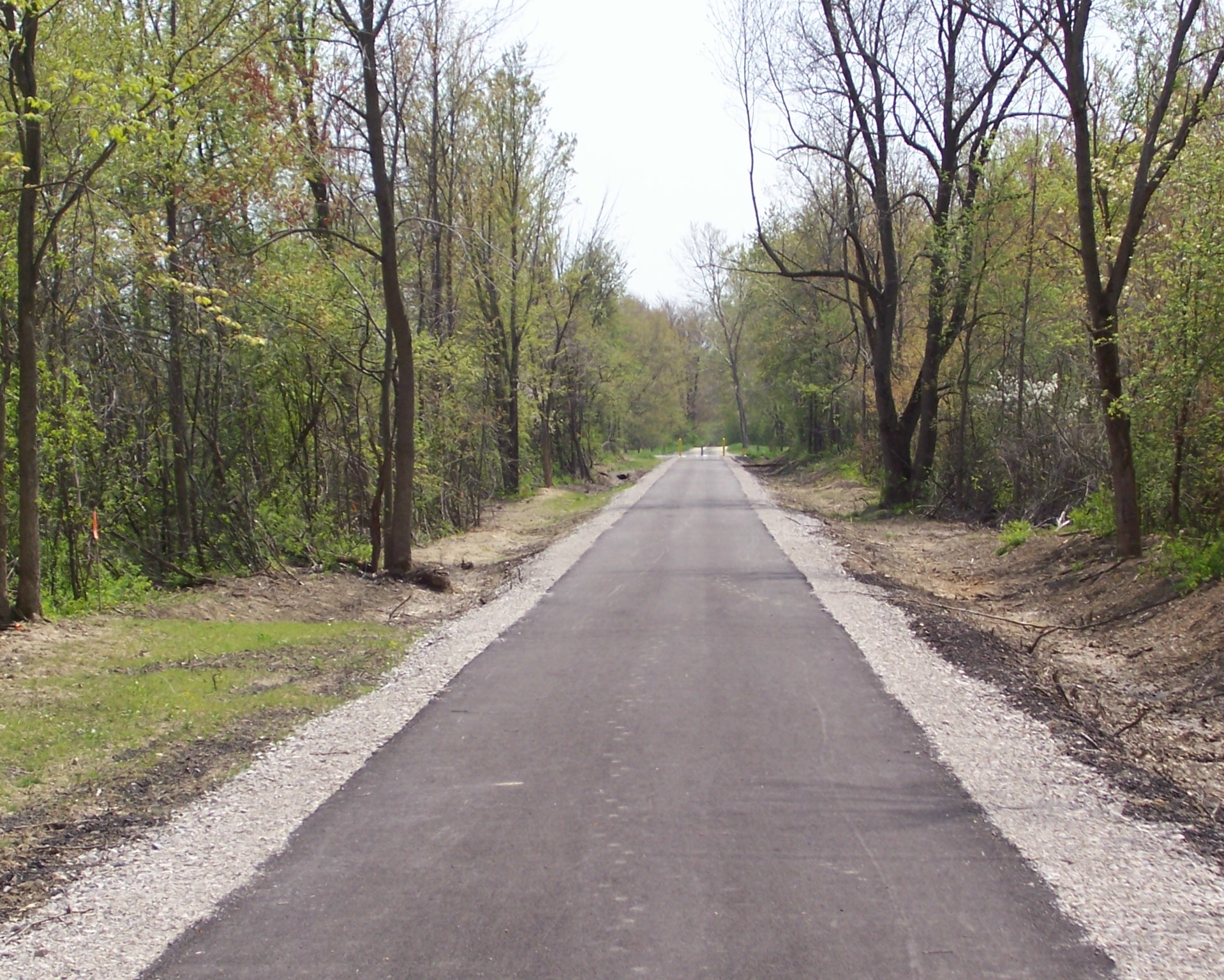
Bicycle Paths
In closing, do not limit yourself to back roads. Once you have a bug out location situated, develop alternate plans if the roads are not available.